18 CAPTAIN THATCHER ROAD
Owner Information
AVIL WINSTON RICHARD & LOISELLE
550 WEST 45TH STREET APT 2509
NEW YORK, NY 10036


Property Details
18 CAPTAIN THATCHER ROAD is classified as a Single Family Residential (Cape).
The primary structure on this property was built in 1983. There are 1,729ft2 of built area within this property. There is 1,729ft2 of residential/living space within this property. This property is listed as having 7 rooms.
18 CAPTAIN THATCHER ROAD is valued at $670,400. The land is valued at $387,800 and the structures are valued at $282,600.
This property is in Zone RM. Confirm with local Zoning Board authorities to ensure there are no overlays or other easements on this property.
The most recent deed for 18 CAPTAIN THATCHER ROAD is recorded at the local registrar in Book 33208, Page 146. 18 CAPTAIN THATCHER ROAD was last sold on Friday, August 28, 2020 for $660,000.
Assessment data from fiscal year 2022.
Flood Data
According to the FEMA National Flood Hazard Layer, this property does not appear to be in a flood zone. It may also be in an area not yet reviewed. Nonetheless, confirm this information prior to taking any action.
To view the flood hazards around this property, create a FEMA "Firmette" Map of the area around 18 CAPTAIN THATCHER ROAD.
Broadband Internet Providers
| Provider | Type | Bandwidth (mbps) | |
|---|---|---|---|
| T-Mobile | Fixed Wireless | 25 | 3 |
| VSAT Systems, LLC. | Satellite | 2 | 1 |
| HughesNet | Satellite | 25 | 3 |
| GCI Communication Corp. | Satellite | 0 | 0 |
| Comcast | Cable | 1000 | 35 |
| Verizon New England Inc. | DSL | 10 | 1 |
| Viasat Inc | Satellite | 35 | 3 |
Broadband service provider data from December 2020.
Adjacent Properties
- 0 LOWER ROAD
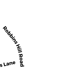
Vacant, Conservation Organizations (Charitable Org.) owned by BREWSTER CONSERVATION TRUST - 0 ROBBINS HILL ROAD REAR
Developable Residential Land owned by WINN WILLIAM A JR & GERTRUDE M - 72 ROBBINS HILL ROAD
Single Family Residential owned by SULLIVAN STEPHEN J & HOLLY M - 54 ROBBINS HILL ROAD
Single Family Residential owned by SULLIVAN MARGARET M (LIFE ESTATE)